
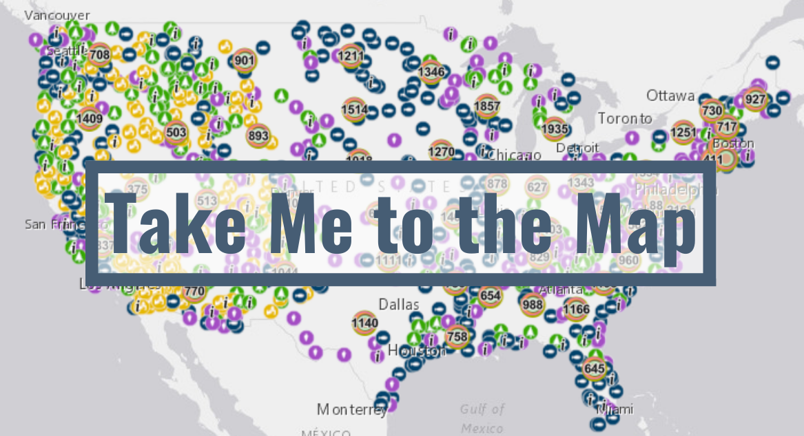
Places Funded by LWCF
METHODOLOGY
The Land and Water Conservation Fund (LWCF) project map tracks information on projects funded through LWCF over the program’s history, to the greatest extent possible. These include fee and easement acquisitions by federal, state and local public agencies and state and local park development projects. The map does not include data on leased lands, exchanges or lands managed by contract.
At present, there are nearly 150,000 digital records that form the basis of the LWCF project map. These records and other data shown in the map are compiled from:
Publicly available digital geographic records, tabular data and other information for six LWCF-funded programs provided by the Bureau of Land Management, US Fish and Wildlife Service, National Park Service and US Forest Service land acquisition programs; US Forest Service Forest Legacy Program; and USFWS Highlands Conservation Act program.
Geo-location using other program information for three LWCF-funded programs where digital geographic records were not available (Cooperative Endangered Species Conservation Program, American Battlefield Protection Program and State and Local Assistance Program including Outdoor Recreation Legacy Partnership program)
Annual appropriations bills.
Various data sources have been combined to represent what appears on the map.
The Land and Water Conservation Fund (LWCF) is America’s premiere land conservation and outdoor recreation access program, benefitting all Americans in every state, almost all counties and for a variety of purposes that meet a range of needs from close-to-home parks to backcountry wilderness.
The idea of creating a digital, public-facing, user-friendly and “one-stop” map and database identifying the location of investments from the LWCF over the program’s 55-plus year history has been under discussion for years. While each of the ten LWCF-funded federal programs maintains its own data and information, that information has existed in silos. It has often been challenging for the public to access and understand the substantial overall impact of LWCF around the country.
The years-long effort to permanently authorize and fund LWCF, which culminated in the enactment of the Great American Outdoors Act in August 2020, further underscored the need for a comprehensive database of LWCF investments.
This project collected 55 years of data from all ten LWCF programs and transcribed that data into a consistent digital format accessible via a web-based platform.
The task of collecting, organizing, geo-locating and describing thousands of successful LWCF investments over 55+ years now identified in the digital map would not have been possible without the help of a number of people over many months. We would like to acknowledge with deep gratitude the assistance of many program and GIS staff who oversee LWCF funding and data collection at the Bureau of Land Management, National Park Service, US Fish and Wildlife Service, and US Forest Service.
Invaluable assistance from non-profit partners is also gratefully acknowledged, particularly that provided by the Land and Water Conservation Fund Coalition, the Land Trust Alliance, National Association of State Outdoor Recreation Liaison Officers, National Recreation and Park Association, The Conservation Fund, The Nature Conservancy, The Wilderness Society, Western Rivers Conservancy and the Wilderness Land Trust.
The LWCF project map is intended to be a living document and will be updated annually to reflect ongoing LWCF investments. This data-driven tool will help policy makers at the federal, state and local level and their partners evaluate LWCF outcomes and needs and measure success.